Emergency Advisories
Evacuation Levels and Information are also posted on the Umatilla County Sheriff's Office Facebook as they are issued.
Bradley Flats Fire (south of Pilot Rock, Bridge Creek Drainage)
Information Issued: 07/19/2026 at 10:40 a.m.
The Bradley Flats Fire is being managed by the Oregon Department of Forestry. The Umatilla County Sheriff's Office is actively monitoring the incident and remains in close communication with our response partners.
We encourage everyone to follow our Facebook page to stay informed about any future evacuation.
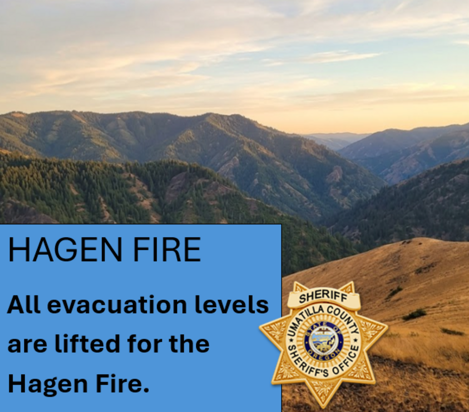
HAGEN FIRE (south of Bingham RD)
Notice issued on 07/20/2026 @ 2:55 p.m.
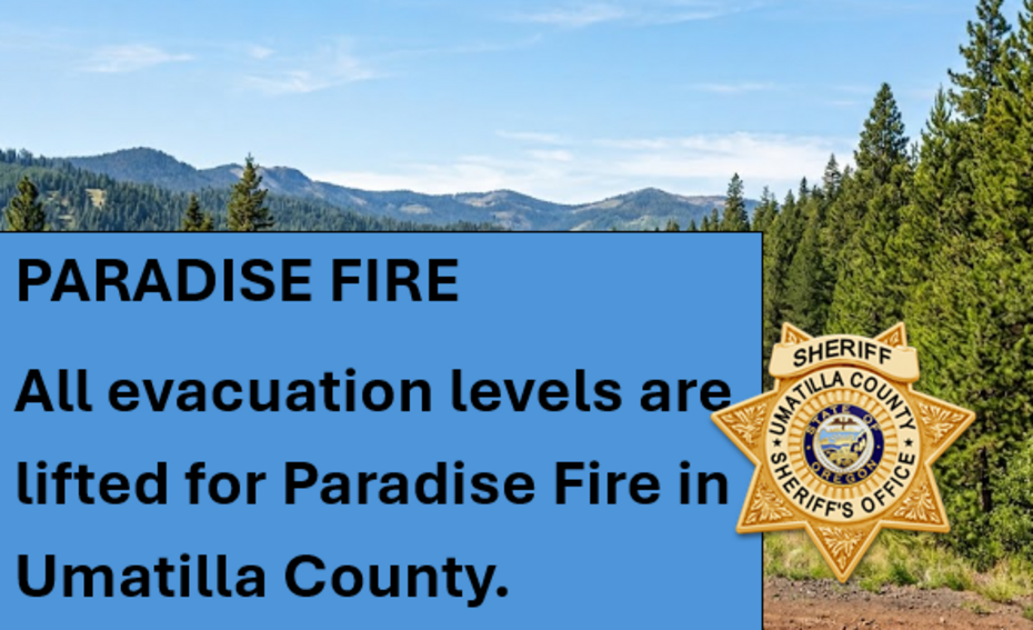
Current evacuation notices related to the HAGEN FIRE (PARADISE, HAGEN & HORSE RIDGE FIRE):
(NW Incident Management Team 7)
RESIDENTS URGED TO EXERCISE EXTREME VIGILANCE AMID CHANGING FIRE CONDITIONS
We are instructing residents in all these areas to take extra precautions. While every effort is being made to provide timely updates on evacuation levels and fire behavior, local terrain presents significant communication and access challenges.
Due to the remote nature of these affected areas, residents must remain extremely vigilant and proactively monitor surrounding fire activity. Fire conditions can change rapidly and unpredictably. Do not wait for an official evacuation order if you feel unsafe or see immediate danger.
The following evacuation levels are now in effect:
LEVEL 1 (BE READY)
Evacuation Zones:
- UMC-1406006
- UMC-1406007-B
- UMC-151-F
- UMC-151-I
- UMC-155-A
- UMC-157
- UMC-215-E
The Level 1 evacuation area extends west of Meacham Creek for approx 5 miles south of Bingham Rd and the area north of Pine Creek to Highway 204.
LEVEL 2 (BE SET)
Evacuation Zones:
- UMC-1406015-C
- UMC-1406015-D
- UMC-149-B
- UMC-149-C
- UMC-151-G
- UMC-151-H
- UMC-153
- UMC-155-B
- UMC-215-A
- UMC-215-D
- UMC-243
Affected LEVEL 2 Area:
The Level 2 evacuation area includes north of Bingham Road to Pine Creek and the western boundary follows the contour of Wildhorse Rd up to Pine Creek.
LEVEL 3 - GO NOW!
Evacuation Zones:
- UMC-1406015-A
- UMC-1406016-B
- UMC-1406016-C
- UMC-1406017-A
- UMC-1406017-B
- UMC-1406053-A
- UMC-1406053-B
- UMC-1406053-C
Affected Area:
The Level 3 evacuation area includes Bingham Road between milepost 20 to the 32 Road and 6.6 miles of Bingham Rd 6.6 miles, including the Umatilla River Corridor and Hagen Creek.
Bingham Rd from CTUIR boundary east to FS RD 32
Continue to follow official fire updates at Paradise, Hagen and Horse Ridge Fire The most current evacuation Levels for Umatilla County can be found on our webpage Emergency Advisories - Umatilla County including a Current Evacuation Map.
LOWER DRY CREEK FIRE
Notice Issued on 07/19/2026 @ 9:00 a.m.
There are NO evacuations currently in effect for the LOWER DRY CREEK FIRE.
ROAD CLOSURE: Winn Rd between Highway 11 and Highway 204
Official Fire Facebook Lower Dry Creek Fire.
SHELTER INFORMATION
Blue Mountain Community College
McCrae Activity Center (Mac Center) - Basement Gym
2411 NW Carden Ave, Pendleton, OR 97801
Established in cooperation with:
Blue Mountain Community College
Confederated Tribes of the Umatilla Indian Reservation (CTUIR)
Oregon Department of Human Services
Umatilla County Public Health
Umatilla County Emergency Management
FIRE MAPS:
Current Evacuation Map
SIGN UP FOR UMATILLA COUNTY EMERGENCY ALERTS:
OR-Alert - Umatilla County
FAQ - More info
SHELTERS:
Blue Mountain Community College
McCrae Activity Center (Mac Center) - Basement Gym
2411 NW Carden Ave, Pendleton
LIVESTOCK (for those in evacuation zones)
Pendleton Round-up Grounds
Contact their office for requests: (541) 276-2553
ROAD CLOSURES:
Winn Rd between Highway 11 and Highway 204
Bingham Rd from CTUIR boundary east to FS RD 32
AIR QUALITY
Oregon Smoke Blog - Fire and Smoke Map
EPA's Air Now - Current Air Qualify
UMATILLA COUNTY SHERIFF
Website
Facebook
UMATILLA COUNTY
Website
Public Health Facebook
Declaration of Emergency
OREGON STATE FIRE MARSHAL
Facebook
Lower Dry Creek Fire Facebook
STATE OF OREGON WILDIFE RESOURCES:
Website